SPONSORED
K–12
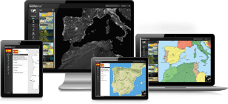
Rand McNally WorldAtlas is filled with updated, high-impact information about the countries of the world and every U.S. state. Build engaging lessons with up-to-date information. Students can research the latest stats on population, GDP, major imports and exports, and a wide range of facts. Reports and presentations have never been simpler.
FREE TRIAL Click here for yourFREE two-week trial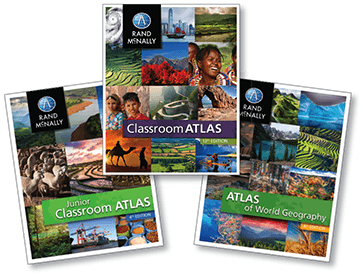
For more than 130 years, Rand McNally Education has been opening classrooms to the world. We are committed to creating products that give students a lifelong foundation of geographic literacy and a love of discovery, while providing teachers with resources, materials, and guidance to help them engage children and enrich the learning experience.
LEARN MORERand McNally and the globe logo are registered trademarks of RM Acquisition, LLC d/b/a Rand McNally. © 2017 Rand McNally. All rights reserved.
Photo: classroom, © shaun/istockphoto.com
Not just a digital tool! With World Atlas you can customize, download, save, and print maps. Do you need a map of Brazil showing annual rainfall or an outline map of Africa? No problem. Just click, save, and print.
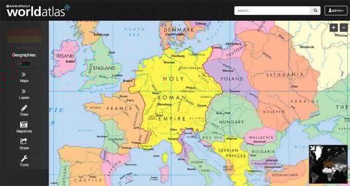
Make history come alive by accessing historical maps from around the world. Show the reach of kingdoms and empires from thousands of years ago and demonstrate how boundaries have changed over time.
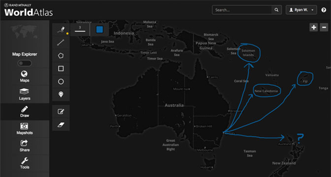
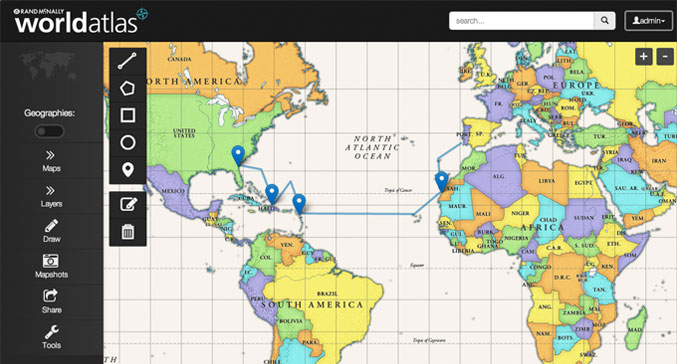
Teachers and students can quickly and easily create custom maps by annotating, drawing, and marking points of interest. Promote active learning using these powerful drawing tools.
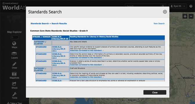
All content is aligned to State and Common Core standards. The comprehensive search tool enables you to easily find content and lessons that meet your needs.